
March 8 - May 28, 2010
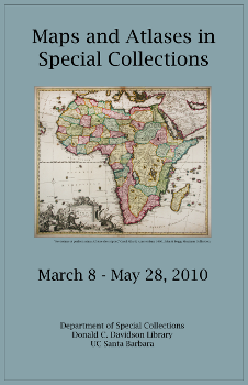 This exhibit featured a selection of maps, atlases (and related materials) from Special Collections holdings from across a wide geographic and chronological range showing areas of the ancient, old and new worlds as well as other cartographic/geographic entities.
Represented works were from the Wyles, Printers and Bernath Collections with antique maps from the John and Peggy Maximus Collection and other sources featuring the work of noted cartographers such as Mercator, Blaeu, Tirion and Zatta among others.
