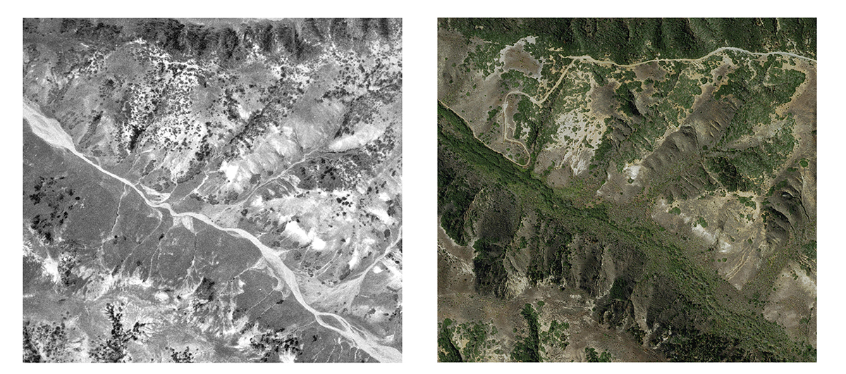
In 2016, the UCSB Library and CSU-Channel Islands scanned and georeferenced all images covering the Channel Islands held at the UCSB Library. These photographs are now ready to use in GIS software packages, and will soon be available on an interactive website. Time eras and scales are:
| Date | Flight Code (link is to metadata records of original photographs) |
Resolution |
|---|---|---|
|
1929-Jun |
C-561 San-Miguel Santa-Cruz Santa-Rosa | 1:18,000 |
| 1940-May-Jun | BTM-1940 | 3.24 m / pixel 1:20,000 |
| 1964-02-14 | HA-WC | 1.53 m / pixel 1:12,000 |
| 1977-01-11 | 77-006-02456 | 1:32,500 |
| 2003 | NAPP-3C | 1:40,000 |
| 2009 | born digital | 31.4 cm / pixel |
| 2012 | born digital | 15 cm / pixel |
| 2015 | born digital | 15 cm / pixel |
Datasets are available by walking in to the DREAM Lab and accessing our Open Data Collection: File drive location: //x/Imagery/georeferenced_air_photos/ or //x/Imagery/Channel Islands NP
Or contact dreamlab@library.ucsb.edu